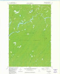
1981 Map of Bird Lake
USGS Topo · Published 1982About this map
The St Louis River winds through the heart of the Superior National Forest, defining a landscape of dense timber and marshland in St. Louis County. This northern Minnesota wilderness is marked by its complex hydrology, where numerous smaller streams like Water Hen Creek, Bum Creek, and Little Shaver Creek feed into the primary river system. The presence of the Hoyt Lakes Village Boundary in the northwest corner suggests the proximity of municipal development to this otherwise wild terrain.
Find a feature on this map
18 named features on this map. Tap any name to fly to it.
Don’t see what you’re looking for? This feature index may not catch every label — zoom into the map to look around manually.
Map Details
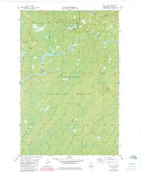
Editions of this 1981 Bird Lake Map
2 editions found
Other maps of this area

1949 · Aurora
USGS Topo · 1:24,000

1949 · Allen
USGS Topo · 1:24,000

1950 · Allen
USGS Topo · 1:24,000

1950 · Aurora
USGS Topo · 1:24,000

1951 · Babbitt SW
USGS Topo · 1:24,000

1954 · Two Harbors
USGS Topo · 1:250,000

1954 · Hibbing
USGS Topo · 1:250,000

1957 · Two Harbors
USGS Topo · 1:250,000

1957 · Hibbing
USGS Topo · 1:250,000

1957 · Brimson
USGS Topo · 1:62,500