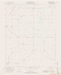
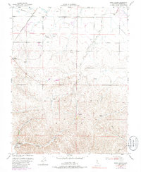
1953 Map of Birds Landing
USGS Topo · Published 1969About this map
The Montezuma Hills define the rolling topography of this coastal California region, which was primarily characterized by large-scale ranching and early rail transit at the time of the mid-century survey. The settlement at Birds Landing and the nearby Willow Spr School serve as local hubs for the surrounding family holdings, which include the Hamilton Ranch, Hierlihy Ranch, and Lambie Ranch. This landscape is marked by the presence of numerous windmills, which provided the essential water supply for livestock and small agrarian operations across the hills.
Find a feature on this map
26 named features on this map. Tap any name to fly to it.
Don’t see what you’re looking for? This feature index may not catch every label — zoom into the map to look around manually.
Map Details
Editions of this 1953 Birds Landing Map
6 editions found
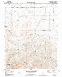
Other maps of this area

1907 · Antioch
USGS Topo · 1:62,500

1908 · Vacaville
USGS Topo · 1:62,500

1908 · Courtland
USGS Topo · 1:62,500

1908 · Antioch
USGS Topo · 1:62,500

1910 · Rio Vista
USGS Topo · 1:31,680

1910 · Jersey
USGS Topo · 1:31,680

1916 · Cache Slough
USGS Topo · 1:31,680

1916 · Maine Prairie
USGS Topo · 1:31,680

1917 · Elmira
USGS Topo · 1:31,680

1918 · Honker Bay
USGS Topo · 1:31,680