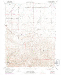
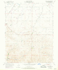
1953 Map of Birds Landing
USGS Topo · Published 1986About this map
The Montezuma Hills rise above the flat marshlands of the Delta in this mid-century survey, showcasing a landscape defined by expansive ranching and vital water infrastructure. Numerous family-owned landholdings, such as Peterson Ranch, Hansen Ranch, Lambie Ranch, and Thompson Ranch, are scattered across the undulating terrain, punctuated by essential Windmill sites and water storage Reservoirs. To the west, the Sacramento Northern railroad cuts through the lowlands, serving as a lifeline for the agricultural community of Creed and the small settlement at Rio Vista Junction.
Find a feature on this map
22 named features on this map. Tap any name to fly to it.
Don’t see what you’re looking for? This feature index may not catch every label — zoom into the map to look around manually.
Map Details
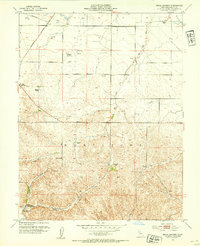
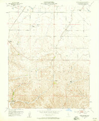
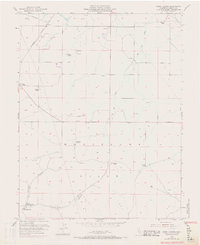
Editions of this 1953 Birds Landing Map
6 editions found
Other maps of this area

1907 · Antioch
USGS Topo · 1:62,500

1908 · Vacaville
USGS Topo · 1:62,500

1908 · Courtland
USGS Topo · 1:62,500

1908 · Antioch
USGS Topo · 1:62,500

1910 · Rio Vista
USGS Topo · 1:31,680

1910 · Jersey
USGS Topo · 1:31,680

1916 · Cache Slough
USGS Topo · 1:31,680

1916 · Maine Prairie
USGS Topo · 1:31,680

1917 · Elmira
USGS Topo · 1:31,680

1918 · Honker Bay
USGS Topo · 1:31,680