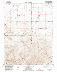
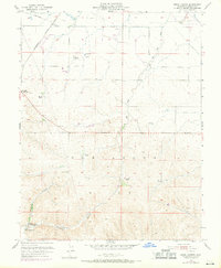
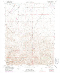
1953 Map of Birds Landing
USGS Topo · Published 1992About this map
The Montezuma Hills of Solano County define this landscape of mid-century ranching and water management. Centered on the small settlement of Birds Landing, the map documents a network of family-held lands including the Hansen Ranch, Lambie Ranch, and Thompson Ranch. These estates are connected by a grid of rural thoroughfares such as Little Honker Bay Road and Emigh Road, reflecting a distributed agricultural economy reliant on local schoolhouses like the Willow Spr School.
Find a feature on this map
33 named features on this map. Tap any name to fly to it.
Don’t see what you’re looking for? This feature index may not catch every label — zoom into the map to look around manually.
Map Details
Editions of this 1953 Birds Landing Map
6 editions found
Other maps of this area

1907 · Antioch
USGS Topo · 1:62,500

1908 · Vacaville
USGS Topo · 1:62,500

1908 · Courtland
USGS Topo · 1:62,500

1908 · Antioch
USGS Topo · 1:62,500

1910 · Rio Vista
USGS Topo · 1:31,680

1910 · Jersey
USGS Topo · 1:31,680

1916 · Cache Slough
USGS Topo · 1:31,680

1916 · Maine Prairie
USGS Topo · 1:31,680

1917 · Elmira
USGS Topo · 1:31,680

1918 · Honker Bay
USGS Topo · 1:31,680