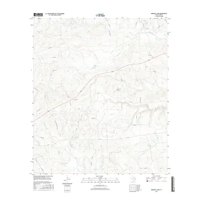
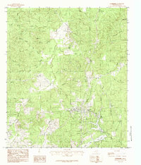
2016 Map of Birdwell Lake
USGS Topo · Published 2016About this map
Birdwell Lake and the surrounding drainage basins of eastern Texas are defined by a complex network of creeks and branches that feed into the local hydrology. This 2016 survey illustrates a landscape primarily shaped by timberland and rural development, where water bodies like Allison Lake and Wolf Creek dominate the geography. The presence of the Hopewell Cem serves as a central landmark for local genealogy, situated near the intersection of several county roads that replaced earlier pioneer paths. The terrain is intricately dissected by seasonal waterways such as Drunkards Br and Sevenmile Br, which indicate the natural flow of the watershed. Established transportation routes like FM 1746 and the Dogwood Trl provide the modern framework for this area, while smaller labels like Push Cr and Rush Cr mark the deep-seated local nomenclature of the Tyler County countryside.
Find a feature on this map
63 named features on this map. Tap any name to fly to it.
Don’t see what you’re looking for? This feature index may not catch every label — zoom into the map to look around manually.
Map Details
Editions of this 2016 Birdwell Lake Map
This is the sole edition of this map. No revisions or reprints were ever made.
Other maps of this area

1954 · Beaumont
USGS Topo · 1:250,000
1955 · Woodville
USGS Topo · 1:62,500
1955 · Curtis
USGS Topo · 1:62,500

1957 · Beaumont
USGS Topo · 1:250,000
1958 · Warren
USGS Topo · 1:62,500
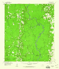
1958 · Spurger
USGS Topo · 1:62,500
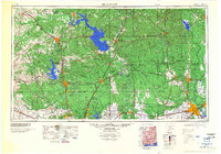
1984 · Beaumont
USGS Topo · 1:250,000
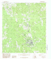
1984 · Woodville
USGS Topo · 1:24,000
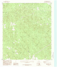
1984 · Boggy Lake
USGS Topo · 1:24,000
1984 · Colmesneil
USGS Topo · 1:24,000