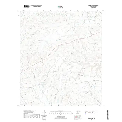
2019 Map of Birdwell Lake
USGS Topo · Published 2019About this map
Hopewell Cem stands near the center of this rural Tyler County landscape, situated among the undulating headwaters of numerous creeks that define the local geography. The area is characterized by an intricate drainage network where Wolf Creek and Push Cr flow through the northern reaches, while the southern terrain is marked by colorfully named tributaries such as Drunkards Br, Wash Hole Br, and Sleepy Hollow Br. Settlement patterns follow the high ground between these drainages, connected by a network of county roads like Antioch Rd and state routes including FM 1746. Central to the map's lower-west quadrant is Birdwell Lake, a notable local water body. The presence of the Tyler Co Sanitary Land Fill Rd and numerous modern road designations provides a clear view of contemporary land use in this timbered region of East Texas.
Find a feature on this map
62 named features on this map. Tap any name to fly to it.
Don’t see what you’re looking for? This feature index may not catch every label — zoom into the map to look around manually.
Map Details
Editions of this 2019 Birdwell Lake Map
This is the sole edition of this map. No revisions or reprints were ever made.
Other maps of this area
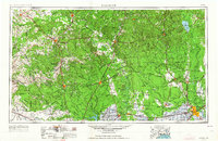
1954 · Beaumont
USGS Topo · 1:250,000
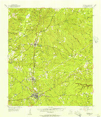
1955 · Woodville
USGS Topo · 1:62,500
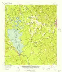
1955 · Curtis
USGS Topo · 1:62,500
1957 · Beaumont
USGS Topo · 1:250,000
1958 · Warren
USGS Topo · 1:62,500
1958 · Spurger
USGS Topo · 1:62,500
1984 · Beaumont
USGS Topo · 1:250,000
1984 · Woodville
USGS Topo · 1:24,000
1984 · Boggy Lake
USGS Topo · 1:24,000
1984 · Colmesneil
USGS Topo · 1:24,000