
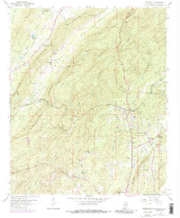
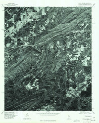
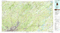
1984 Map of Birmingham North
USGS Topo · Published 1985This historical map portrays the area of Birmingham North in 1984, primarily covering St. Clair County as well as portions of Jefferson County, Shelby County, Calhoun County, Etowah County, Cullman County, Talladega County, Walker County, and Blount County. Featuring a scale of 1:100000, this map provides a highly detailed snapshot of the terrain, roads, buildings, counties, and historical landmarks in the Birmingham North region at the time. Published in 1985, it is one of 2 known editions of this map due to revisions or reprints.
Find a feature on this map
154 named features on this map. Tap any name to fly to it.
Don’t see what you’re looking for? This feature index may not catch every label — zoom into the map to look around manually.
Map Details
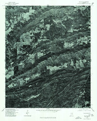
Editions of this 1984 Birmingham North Map
2 editions found
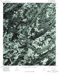
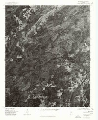
Historical Maps of Oak Ridge Park Through Time
9 maps found
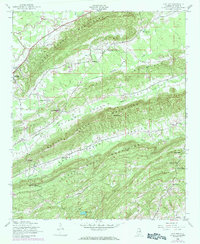
1947 Cox Gap
St. Clair County, AL
1958 Hyatt Gap
St. Clair County, AL
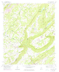
1958 Wattsville
St. Clair County, AL
1962 Cooks Springs
St. Clair County, AL
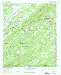
1975 Cooks Springs
St. Clair County, AL
1975 Cox Gap
St. Clair County, AL
1975 Hyatt Gap
St. Clair County, AL
1975 Wattsville
St. Clair County, AL
1984 Birmingham North
St. Clair County, AL