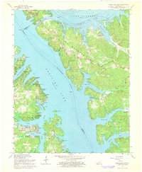
1967 Map of Birmingham Point
USGS Topo · Published 1968About this map
The peninsula of Land Between The Lakes dominates this mid-century survey, positioned between the massive impoundments of Kentucky Lake and Lake Barkley. The topography reflects a landscape reshaped by the Tennessee Valley Authority, with the Barkley Canal connecting the Tennessee River and Cumberland River at the northern edge near Grand Rivers. Local history is preserved in the names of submerged or relocated sites, most notably the community of Birmingham, which sat along the riverbank before the reservoirs were filled.
Find a feature on this map
60 named features on this map. Tap any name to fly to it.
Don’t see what you’re looking for? This feature index may not catch every label — zoom into the map to look around manually.
Map Details
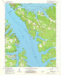
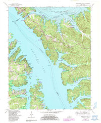
Editions of this 1967 Birmingham Point Map
3 editions found
Other maps of this area

1928 · Eddyville
USGS Topo · 1:48,000

1929 · Smithland
USGS Topo · 1:62,500

1931 · Eddyville
USGS Topo · 1:62,500

1936 · Eddyville
USGS Topo · 1:48,000

1936 · Mont
USGS Topo · 1:24,000

1936 · Fenton
USGS Topo · 1:24,000

1936 · Grand Rivers
USGS Topo · 1:24,000

1936 · Hardin
USGS Topo · 1:24,000

1936 · Smithland
USGS Topo · 1:48,000

1936 · Hiatt
USGS Topo · 1:24,000