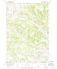
1967 Map of Birney SW
USGS Topo · Published 1971About this map
The Northern Cheyenne Indian Reservation Bdy serves as a primary geographic divider on this 1967 survey, marking the intersection of the tribal lands with Big Horn County and Rosebud County. The landscape is defined by the winding course of the Tongue River in the southeast corner, where the river plain creates level ground at Ted Flat. This area transitions from the river valley into a complex network of upland drainages, including Dog Prairie Creek, Jeffrys Prong, and Bull Creek.
Find a feature on this map
27 named features on this map. Tap any name to fly to it.
Don’t see what you’re looking for? This feature index may not catch every label — zoom into the map to look around manually.
Map Details
Editions of this 1967 Birney SW Map
2 editions found
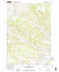
Other maps of this area

1954 · Hardin
USGS Topo · 1:250,000

1957 · Hardin
USGS Topo · 1:250,000

1958 · Hardin
USGS Topo · 1:250,000

1958 · Bull Creek Lookout
USGS Topo · 1:24,000

1967 · Clubfoot Creek
USGS Topo · 1:24,000

1967 · Birney
USGS Topo · 1:24,000

1967 · Tongue River Dam
USGS Topo · 1:24,000
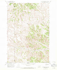
1967 · Cook Creek Butte
USGS Topo · 1:24,000

1967 · Lacey Gulch
USGS Topo · 1:24,000
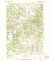
1967 · Spring Gulch
USGS Topo · 1:24,000