
1971 Map of Bisbee South
USGS Topo · Published 1973About this map
Soo Line tracks cut across the northern edge of this landscape, connecting the small grain-handling centers of Bisbee and Agate. The area is defined by the township boundaries of New City and Zion, showing a rural prairie environment organized by a dense grid of section lines and field fences. Local history is anchored by family and community landmarks, including the centrally located Teubner Cem and the southern Halling Cem.
Find a feature on this map
14 named features on this map. Tap any name to fly to it.
Don’t see what you’re looking for? This feature index may not catch every label — zoom into the map to look around manually.
Map Details
Editions of this 1971 Bisbee South Map
This is the sole edition of this map. No revisions or reprints were ever made.
Other maps of this area

1953 · Devils Lake
USGS Topo · 1:250,000

1956 · Devils Lake
USGS Topo · 1:250,000

1971 · Considine
USGS Topo · 1:24,000

1971 · Leeds NE
USGS Topo · 1:24,000

1971 · Mylo
USGS Topo · 1:24,000

1971 · Hurricane Lake West
USGS Topo · 1:24,000

1971 · Bisbee North
USGS Topo · 1:24,000
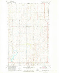
1971 · Big Coulee Dam
USGS Topo · 1:24,000

1971 · Mylo SE
USGS Topo · 1:24,000
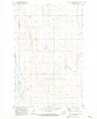
1971 · Hurricane Lake East
USGS Topo · 1:24,000