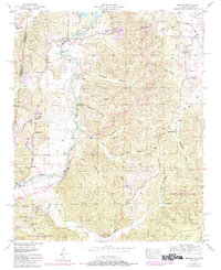
1950 Map of Bishop
USGS Topo · Published 1984About this map
Bear Creek meanders across the border of Alabama and Mississippi, defining the rural character of this region during the mid-20th century. The landscape is marked by a series of distinct hollows such as Calhoun Hollow and Gallymore Hollow, which shaped the early settlement patterns of communities like Allsboro, Bishop, and Maud. The presence of the Natchez Trace Parkway running southwest toward Burnstown reflects the historical significance of this transit corridor through Colbert Co.
Find a feature on this map
54 named features on this map. Tap any name to fly to it.
Don’t see what you’re looking for? This feature index may not catch every label — zoom into the map to look around manually.
Map Details
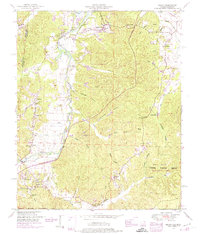
Editions of this 1950 Bishop Map
2 editions found
Other maps of this area

1911 · Iuka
USGS Topo · 1:48,000

1914 · Iuka
USGS Topo · 1:62,500

1924 · Gravelly Springs
USGS Topo · 1:48,000

1925 · Barton
USGS Topo · 1:62,500

1926 · Barton
USGS Topo · 1:48,000

1926 · Gravelly Springs
USGS Topo · 1:62,500

1929 · Barton
USGS Topo · 1:62,500

1935 · Cherokee
USGS Topo · 1:24,000

1935 · Iuka
USGS Topo · 1:24,000

1935 · Pleasant Site
USGS Topo · 1:24,000