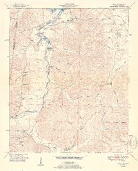
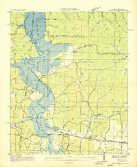
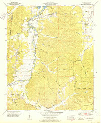
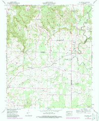
1951 Map of Bishop
USGS Topo · Published 1951This historical map portrays the area of Bishop in 1951, primarily covering Colbert County as well as portions of Mississippi. Featuring a scale of 1:24000, this map provides a highly detailed snapshot of the terrain, roads, buildings, counties, and historical landmarks in the Bishop region at the time. Published in 1951, it is one of 2 known editions of this map due to revisions or reprints.
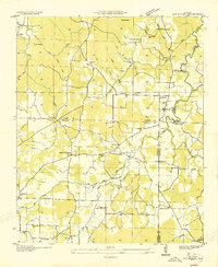
Find a feature on this map
57 named features on this map. Tap any name to fly to it.
Don’t see what you’re looking for? This feature index may not catch every label — zoom into the map to look around manually.
Map Details
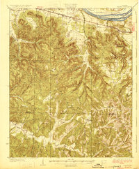
Editions of this 1951 Bishop Map
2 editions found
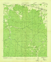
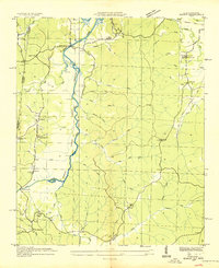
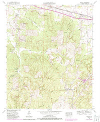
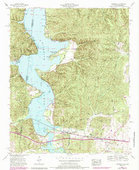
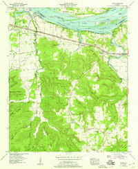
Historical Maps of Malone Through Time
15 maps found

1925 Barton
Colbert County, AL

1926 Barton
Colbert County, AL
1929 Barton
Colbert County, AL
1936 Barton
Colbert County, AL
1936 Bishop
Colbert County, AL
1936 Margerum
Colbert County, AL
1936 Old Bethel
Colbert County, AL
1936 Pride
Colbert County, AL
1950 Bishop
Colbert County, AL
1951 Bishop
Colbert County, AL
1953 Barton
Colbert County, AL
1953 Margerum
Colbert County, AL
1954 Pride
Colbert County, AL
1957 Old Bethel
Colbert County, AL
1971 Pride
Colbert County, AL