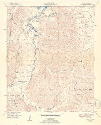
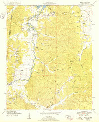
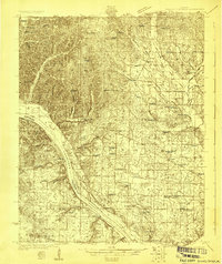
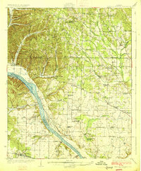
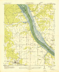
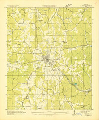
1951 Map of Bishop
USGS Topo · Published 1951About this map
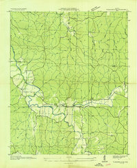
Bear Creek and its complex network of tributaries define this landscape along the border of Alabama and Mississippi. The winding corridor of the Natchez Trace cuts through the western portion of the quadrangle, passing near the settlement of Allsboro. By the early 1950s, the influence of the Tennessee Valley Authority is evident at Pickwick Reservoir, where the impounded waters reach into deep hollows such as Calhoun Hollow and McCluskey Hollow.
Find a feature on this map
57 named features on this map. Tap any name to fly to it.
Don’t see what you’re looking for? This feature index may not catch every label — zoom into the map to look around manually.
Map Details
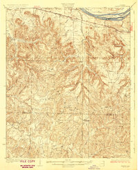
Editions of this 1951 Bishop Map
2 editions found
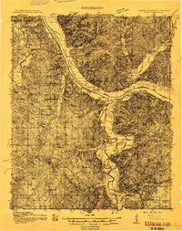
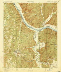
Other maps of this area
1911 · Iuka
USGS Topo · 1:48,000
1914 · Iuka
USGS Topo · 1:62,500
1924 · Gravelly Springs
USGS Topo · 1:48,000

1925 · Barton
USGS Topo · 1:62,500

1926 · Barton
USGS Topo · 1:48,000
1926 · Gravelly Springs
USGS Topo · 1:62,500
1929 · Barton
USGS Topo · 1:62,500
1935 · Cherokee
USGS Topo · 1:24,000
1935 · Iuka
USGS Topo · 1:24,000
1935 · Pleasant Site
USGS Topo · 1:24,000