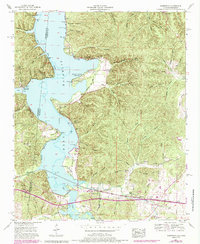
1953 Map of Margerum
USGS Topo · Published 1985About this map
The Southern Railway corridor and the industrial operations of the Alabama Asphaltic Limestone Company anchor the southern landscape of this mid-century survey near the state line. Centered on the settlement of Margerum, the map illustrates a transition from the heavy timber and intricate hollows of the Highland Rim to the expanded waters of Pickwick Lake. Residential development is evident in the emerging recreation spots along the shoreline, such as the Buchanan Peninsula Cabin Area and Aurora Springs Cabin Area, while older family roots are preserved at Douthit Cem and Crenshaw Cem. Topographical features like Buzzard Roost and Chalk Mine Hollow highlight the varied terrain, while the Natural Trace Parkway and a Dismantled Railroad reflect different eras of transport and passage through Colbert County.
Find a feature on this map
62 named features on this map. Tap any name to fly to it.
Don’t see what you’re looking for? This feature index may not catch every label — zoom into the map to look around manually.
Map Details
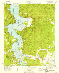
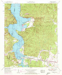
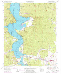
Editions of this 1953 Margerum Map
4 editions found
Other maps of this area

1911 · Iuka
USGS Topo · 1:48,000

1914 · Iuka
USGS Topo · 1:62,500

1924 · Gravelly Springs
USGS Topo · 1:48,000

1925 · Barton
USGS Topo · 1:62,500

1926 · Barton
USGS Topo · 1:48,000

1926 · Gravelly Springs
USGS Topo · 1:62,500

1929 · Barton
USGS Topo · 1:62,500

1935 · Cherokee
USGS Topo · 1:24,000

1935 · Wright
USGS Topo · 1:24,000

1935 · Iuka
USGS Topo · 1:24,000