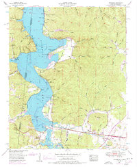
1953 Map of Margerum
USGS Topo · Published 1977About this map
Pickwick Lake dominates the borderlands where Alabama, Mississippi, and Tennessee meet, drowning former bottomlands beneath the impounded waters of the Tennessee River. Along the southern shore, the community of Margerum sits as a vital junction between the Southern Railway and the winding Natchez Trace Parkway. The landscape is defined by deep, family-named hollows like Walker Chapel Hollow and Barnett Mill Hollow, reflecting a long history of rural settlement before the reservoir's creation.
Find a feature on this map
72 named features on this map. Tap any name to fly to it.
Don’t see what you’re looking for? This feature index may not catch every label — zoom into the map to look around manually.
Map Details
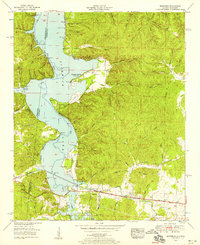
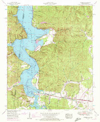
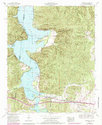
Editions of this 1953 Margerum Map
4 editions found
Other maps of this area

1911 · Iuka
USGS Topo · 1:48,000

1914 · Iuka
USGS Topo · 1:62,500

1924 · Gravelly Springs
USGS Topo · 1:48,000

1925 · Barton
USGS Topo · 1:62,500

1926 · Barton
USGS Topo · 1:48,000

1926 · Gravelly Springs
USGS Topo · 1:62,500

1929 · Barton
USGS Topo · 1:62,500

1935 · Cherokee
USGS Topo · 1:24,000

1935 · Wright
USGS Topo · 1:24,000

1935 · Iuka
USGS Topo · 1:24,000