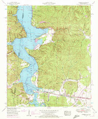
1953 Map of Margerum
USGS Topo · Published 1972About this map
The Mississippi Alabama State Line cuts through this landscape where the waters of Pickwick Lake meet the mouth of Bear Creek. In the early 1950s, the area reflects a transition from traditional river valley life to a recreation-centered economy, evidenced by the development of the Buchanan Peninsula Cabin Area and Crenshaw Cam along the shoreline. Further inland, the map captures the industrial footprint of the Alabama Asphaltic Limestone Company (Aband) near Margerum, providing a clear look at the quarrying history that once drove the local economy.
Find a feature on this map
70 named features on this map. Tap any name to fly to it.
Don’t see what you’re looking for? This feature index may not catch every label — zoom into the map to look around manually.
Map Details
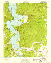
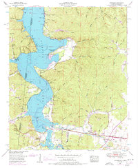
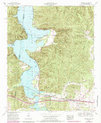
Editions of this 1953 Margerum Map
4 editions found
Other maps of this area

1911 · Iuka
USGS Topo · 1:48,000

1914 · Iuka
USGS Topo · 1:62,500

1924 · Gravelly Springs
USGS Topo · 1:48,000

1925 · Barton
USGS Topo · 1:62,500

1926 · Barton
USGS Topo · 1:48,000

1926 · Gravelly Springs
USGS Topo · 1:62,500

1929 · Barton
USGS Topo · 1:62,500

1935 · Cherokee
USGS Topo · 1:24,000

1935 · Wright
USGS Topo · 1:24,000

1935 · Iuka
USGS Topo · 1:24,000