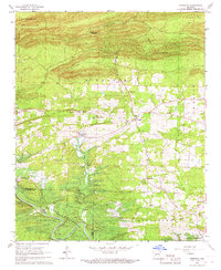
1966 Map of Bismarck
USGS Topo · Published 1967About this map
The Caddo River valley undergoes a significant transformation on this mid-1960s sheet, which documents the developing shoreline of the De Gray Reservoir. At this stage, the map indicates areas of controlled inundation, showing the future reservoir's reach near the Montgomery and Alpine township lines. To the north, the terrain rises toward Needles Eye Mountain and the Henderson heights, where the Bismarck Lookout Tower overlooks the drainage of Fourche a Loupe Creek.
Find a feature on this map
29 named features on this map. Tap any name to fly to it.
Don’t see what you’re looking for? This feature index may not catch every label — zoom into the map to look around manually.
Map Details
Editions of this 1966 Bismarck Map
2 editions found
Other maps of this area

1943 · Antoine
USGS Topo · 1:62,500

1955 · Little Rock
USGS Topo · 1:250,000

1956 · Little Rock
USGS Topo · 1:250,000

1959 · Caddo Valley
USGS Topo · 1:24,000

1960 · Little Rock
USGS Topo · 1:250,000

1964 · Little Rock
USGS Topo · 1:250,000

1966 · Pearcy
USGS Topo · 1:24,000

1966 · Hempwallace
USGS Topo · 1:24,000

1966 · De Roche
USGS Topo · 1:24,000
1966 · Point Cedar
USGS Topo · 1:24,000