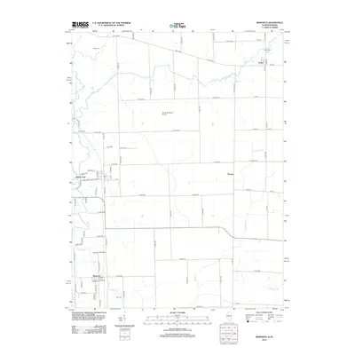
2012 Map of Bismarck
USGS Topo · Published 2012About this map
Bismarck serves as a primary hub of settlement in this northern Vermilion County landscape, where the rectilinear grid of agricultural roads is punctuated by several longstanding family and community burial grounds including Miller Cem, Jordan Cem, and Bethel Cem. The transition from Illinois into Indiana is marked by the winding course of Jordan Cr and the small settlement of Pence. The terrain is defined by the drainage network of the Middle Br N Fork Vermilion River and Stoney Cr, which cut across the prairie. Aviation history is noted by the presence of James M Adams Airport centrally located in the quadrangle. While the landscape is largely rural, the concentrated clusters at Barlow Park and Thomas indicate the persistence of small crossroad communities and rail-aligned development typical of the region's 20th-century growth.
Find a feature on this map
49 named features on this map. Tap any name to fly to it.
Don’t see what you’re looking for? This feature index may not catch every label — zoom into the map to look around manually.
Map Details
Editions of this 2012 Bismarck Map
This is the sole edition of this map. No revisions or reprints were ever made.
Other maps of this area

1899 · Danville
USGS Topo · 1:62,500

1900 · Danville
USGS Topo · 1:62,500

1933 · Hoopeston
USGS Topo · 1:48,000

1938 · Hoopeston
USGS Topo · 1:62,500

1948 · Danville NW
USGS Topo · 1:24,000

1950 · Danville NW
USGS Topo · 1:24,000

1950 · Danville NE
USGS Topo · 1:24,000

1951 · Danville NE
USGS Topo · 1:24,000

1953 · Danville
USGS Topo · 1:250,000

1955 · Danville
USGS Topo · 1:250,000