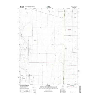
2015 Map of Bismarck
USGS Topo · Published 2015About this map
Bismarck and Alvin anchor this portion of the Illinois-Indiana border, where the rural landscape is defined by the winding course of the North Fork Vermilion River and its various tributaries. The map details a transition from the structured street grids of these small settlements to the expansive agricultural fields that stretch toward the state line. Of particular interest to genealogists are the scattered burial grounds that mark the heritage of Vermilion County, including Rose Cem south of Bismarck, Bethel Cem near the river, and Miller Cem to the north. Waterways like Stoney Cr, Jordan Creek, and Painter Cr carve through the terrain, illustrating the natural drainage patterns that have historically dictated farm placement and road development in this borderland region.
Find a feature on this map
44 named features on this map. Tap any name to fly to it.
Don’t see what you’re looking for? This feature index may not catch every label — zoom into the map to look around manually.
Map Details
Editions of this 2015 Bismarck Map
This is the sole edition of this map. No revisions or reprints were ever made.
Other maps of this area

1899 · Danville
USGS Topo · 1:62,500

1900 · Danville
USGS Topo · 1:62,500

1933 · Hoopeston
USGS Topo · 1:48,000

1938 · Hoopeston
USGS Topo · 1:62,500

1948 · Danville NW
USGS Topo · 1:24,000

1950 · Danville NW
USGS Topo · 1:24,000

1950 · Danville NE
USGS Topo · 1:24,000

1951 · Danville NE
USGS Topo · 1:24,000

1953 · Danville
USGS Topo · 1:250,000

1955 · Danville
USGS Topo · 1:250,000