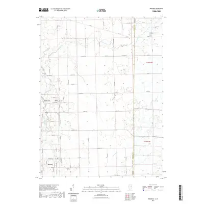
2021 Map of Bismarck
USGS Topo · Published 2021About this map
The Illinois Indiana border defines the eastern edge of this agricultural corridor, where the town of Bismarck sits at the intersection of several key local routes. The landscape is deeply carved by the North Fork Vermilion River and its various tributaries, including the Middle Branch North Fork Vermilion River. These waterways, along with Stoney Cr and Opossum Run, create the distinct drainage patterns that dictated early farmstead placement.
Find a feature on this map
53 named features on this map. Tap any name to fly to it.
Don’t see what you’re looking for? This feature index may not catch every label — zoom into the map to look around manually.
Map Details
Editions of this 2021 Bismarck Map
This is the sole edition of this map. No revisions or reprints were ever made.
Other maps of this area

1899 · Danville
USGS Topo · 1:62,500

1900 · Danville
USGS Topo · 1:62,500

1933 · Hoopeston
USGS Topo · 1:48,000

1938 · Hoopeston
USGS Topo · 1:62,500

1948 · Danville NW
USGS Topo · 1:24,000

1950 · Danville NW
USGS Topo · 1:24,000

1950 · Danville NE
USGS Topo · 1:24,000

1951 · Danville NE
USGS Topo · 1:24,000

1953 · Danville
USGS Topo · 1:250,000

1955 · Danville
USGS Topo · 1:250,000