2024 Map of Bismarck
USGS Topo · Published 2024About this map
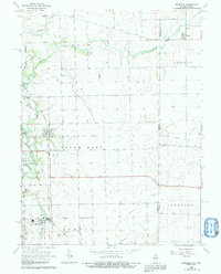
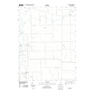
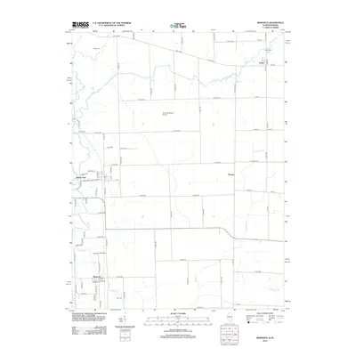
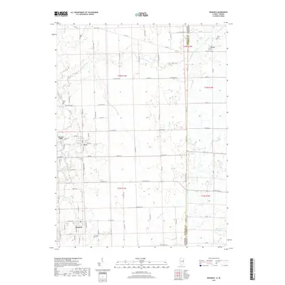
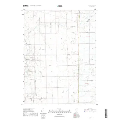
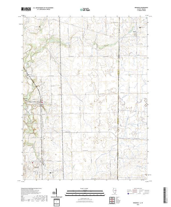
Bismarck and the Village of Alvan anchor this segment of the Illinois-Indiana borderlands, where the landscape is defined by the agricultural grid and the winding paths of several key waterways. The North Fork Vermilion River carves through the western edge of the area, while Jordan Creek and Stoney Creek drain the fertile till plains that stretch toward the state line. Genealogists will find a series of family and community burial grounds documented across the townships, including Miller Cem, Jordan Cem, Bethel Cem, and Rose Cem. Small settlements like Pence sit just across the boundary on State Line Rd, illustrating the close connection between Vermilion County, Illinois, and Warren County, Indiana. The map reflects a deeply rooted rural infrastructure, with Barlow Park providing a community landmark within the village of Alvan along the historic rail corridor.
Find a feature on this map
50 named features on this map. Tap any name to fly to it.
Don’t see what you’re looking for? This feature index may not catch every label — zoom into the map to look around manually.
Map Details
Editions of this 2024 Bismarck Map
This is the sole edition of this map. No revisions or reprints were ever made.
Historical Maps of Bismarck Through Time
7 maps found