
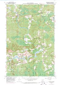
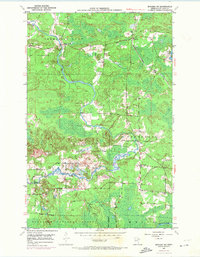
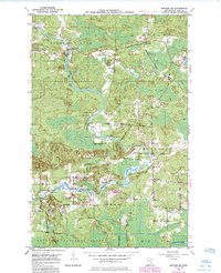
1950 Map of Biwabik NE
USGS Topo · Published 1963About this map
The Pike River and Embarrass River systems define this 1950s landscape within the Iron Range of St. Louis County. At the time of this mid-century survey, the region maintained a pattern of isolated rural settlements and small crossroads. The community of Wahlsten serves as a focal point near the northern reaches of the Duluth Missabe and Iron Range railroad, which provided the vital industrial backbone for the area's extraction and timber economies.
Find a feature on this map
18 named features on this map. Tap any name to fly to it.
Don’t see what you’re looking for? This feature index may not catch every label — zoom into the map to look around manually.
Map Details
Editions of this 1950 Biwabik NE Map
4 editions found
Other maps of this area

1949 · Aurora
USGS Topo · 1:24,000

1949 · Embarrass
USGS Topo · 1:24,000

1950 · Embarrass
USGS Topo · 1:24,000

1950 · Aurora
USGS Topo · 1:24,000

1950 · Biwabik
USGS Topo · 1:24,000

1950 · Mc Kinley
USGS Topo · 1:24,000

1950 · Biwabik NW
USGS Topo · 1:24,000

1951 · Biwabik
USGS Topo · 1:24,000

1951 · Mc Kinley
USGS Topo · 1:24,000

1951 · Biwabik NE
USGS Topo · 1:24,000