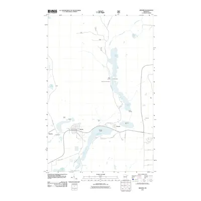
2011 Map of Biwabik
USGS Topo · Published 2011About this map
Biwabik sits at the heart of this Iron Range landscape, where the town's industrial legacy is etched into the earth through numerous pits and excavations. The map traces the extensive mining operations that define the local economy, including the Biwabik Mine, Ajax Mine, and the massive Erie Mine to the east. These industrial sites are interspersed with the natural and regulated waters of the Embarrass River system, including Sabin Lake, Wynne Lake, and the Wynne Lake Dam.
Find a feature on this map
42 named features on this map. Tap any name to fly to it.
Don’t see what you’re looking for? This feature index may not catch every label — zoom into the map to look around manually.
Map Details
Editions of this 2011 Biwabik Map
This is the sole edition of this map. No revisions or reprints were ever made.
Other maps of this area

1949 · Aurora
USGS Topo · 1:24,000

1949 · Embarrass
USGS Topo · 1:24,000

1950 · Embarrass
USGS Topo · 1:24,000

1950 · Aurora
USGS Topo · 1:24,000

1950 · Biwabik
USGS Topo · 1:24,000

1950 · Mc Kinley
USGS Topo · 1:24,000

1950 · Biwabik NW
USGS Topo · 1:24,000

1950 · Biwabik NE
USGS Topo · 1:24,000

1951 · Biwabik
USGS Topo · 1:24,000

1951 · Mc Kinley
USGS Topo · 1:24,000