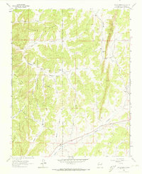
1963 Map of Bixler Ranch
USGS Topo · Published 1973About this map
Chicoso Ridge dominates this Rio Arriba County landscape, where the high-country canyons of the Carson National Forest meet the western boundary of the Jicarilla Apache Indian Reservation. The 1963 survey reveals a sparsely populated terrain defined by ranching and the emerging energy sector, with Gas Wells and a prominent Pipeline cutting through the mesas. Small family-named locales like Ulibarri and Bixler Ranch are tucked into the drainages of Ulibarri Canyon and Augustine Canyon, reflecting a long history of high-altitude habitation.
Find a feature on this map
33 named features on this map. Tap any name to fly to it.
Don’t see what you’re looking for? This feature index may not catch every label — zoom into the map to look around manually.
Map Details
Editions of this 1963 Bixler Ranch Map
3 editions found
Other maps of this area

1889 · Largo
USGS Topo · 1:250,000

1895 · Largo
USGS Topo · 1:250,000

1954 · Aztec
USGS Topo · 1:250,000

1958 · Aztec
USGS Topo · 1:250,000

1962 · Aztec
USGS Topo · 1:250,000
1963 · Espinosa Ranch
USGS Topo · 1:24,000

1963 · Gobernador
USGS Topo · 1:24,000
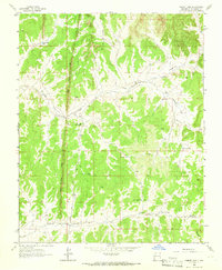
1963 · Cement Lake
USGS Topo · 1:24,000
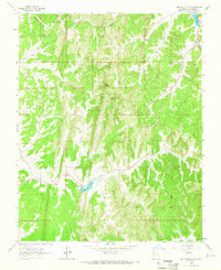
1963 · John Mills Lake
USGS Topo · 1:24,000
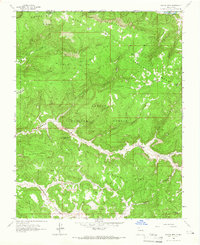
1963 · Bancos Mesa
USGS Topo · 1:24,000