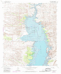
1961 Map of Black Bluffs
USGS Topo · Published 1985About this map
Elephant Butte Reservoir dominates this high-desert landscape of Sierra County, where the impounded waters of the Rio Grande stretch through canyon terrain. This photorevised 1980 survey shows the vast shoreline of Elephant Butte Lake State Park and the distinct geography of The Narrows and White Cliffs. On the western shore, the drainage of Alamosa Creek meets the lake near Elkins Ranch, providing a rare glimpse into the ranching footprints along the water's edge.
Find a feature on this map
38 named features on this map. Tap any name to fly to it.
Don’t see what you’re looking for? This feature index may not catch every label — zoom into the map to look around manually.
Map Details
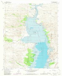
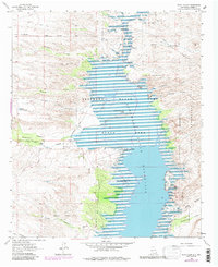
Editions of this 1961 Black Bluffs Map
4 editions found
Other maps of this area

1954 · Tularosa
USGS Topo · 1:250,000

1958 · Tularosa
USGS Topo · 1:250,000

1958 · Elephant Butte
USGS Topo · 1:24,000

1959 · Engle
USGS Topo · 1:62,500

1961 · Huerfano Hill
USGS Topo · 1:24,000

1961 · Sierra Fijardo
USGS Topo · 1:24,000

1961 · Black Bluffs
USGS Topo · 1:24,000

1961 · Crocker
USGS Topo · 1:24,000

1961 · Lava
USGS Topo · 1:24,000

1961 · Cuchillo
USGS Topo · 1:24,000