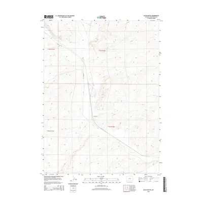
2015 Map of Black Buttes
USGS Topo · Published 2015About this map
Black Buttes is situated within the high desert landscape of Sweetwater County, Wyoming, where the ephemeral Bitter Cr carves a winding path through the terrain. The 2015 topography highlights the sparse and utilitarian nature of this stretch of the West, centered around the named landmark and the arterial Black Buttes Rd. This map serves as a clear record of the modern transportation and township alignments, including Township 19 North Range 100 West and Township 18 North Range 100 West. The land is defined by sharp contour intervals that reveal the complex drainages feeding into the creek bed, illustrating the geological character of this region during the early 21st century.
Find a feature on this map
7 named features on this map. Tap any name to fly to it.
Don’t see what you’re looking for? This feature index may not catch every label — zoom into the map to look around manually.
Map Details
Editions of this 2015 Black Buttes Map
This is the sole edition of this map. No revisions or reprints were ever made.
Other maps of this area

1954 · Rock Springs
USGS Topo · 1:250,000

1958 · Rock Springs
USGS Topo · 1:250,000

1962 · Rock Springs
USGS Topo · 1:250,000

1968 · Cooper Ridge NE
USGS Topo · 1:24,000

1968 · Bitter Creek NW
USGS Topo · 1:24,000

1968 · Sand Butte Rim NW
USGS Topo · 1:24,000

1968 · Bitter Creek
USGS Topo · 1:24,000

1968 · Black Buttes
USGS Topo · 1:24,000

1968 · Point Of Rocks
USGS Topo · 1:24,000
1968 · Point Of Rocks SE
USGS Topo · 1:24,000