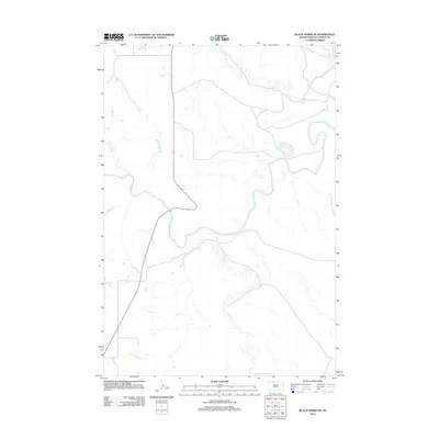
2012 Map of Black Horse NE
USGS Topo · Published 2012About this map
Grand River meanders across this South Dakota landscape, defining the topography of the Rock Creek District. This 2012 survey illustrates the high-prairie hydrology of Corson County, where numerous seasonal and permanent waterways converge. The river receives significant flow from southern tributaries including Firesteel Cr, while northern drainages like Hump Cr and White Shirt Cr carve distinct paths through the northern elevations. To the west, Soldier Cr adds to the complex drainage network that has historically shaped the agricultural and ranching potential of this region. The map reveals the relationship between the natural watercourse of the Grand River and the local road infrastructure that navigates these prairie creek beds.
Find a feature on this map
5 named features on this map. Tap any name to fly to it.
Don’t see what you’re looking for? This feature index may not catch every label — zoom into the map to look around manually.
Map Details
Editions of this 2012 Black Horse NE Map
This is the sole edition of this map. No revisions or reprints were ever made.
Other maps of this area

1953 · McIntosh
USGS Topo · 1:250,000

1956 · Miscol SW
USGS Topo · 1:24,000

1956 · Black Horse NE
USGS Topo · 1:24,000

1956 · Black Horse SW
USGS Topo · 1:24,000

1956 · Black Horse SE
USGS Topo · 1:24,000

1956 · Black Horse
USGS Topo · 1:24,000

1956 · Miscol
USGS Topo · 1:24,000

1956 · Bullhead SW
USGS Topo · 1:24,000

1958 · McIntosh
USGS Topo · 1:250,000

1972 · McIntosh SW
USGS Topo · 1:24,000