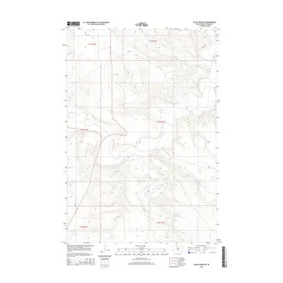
2015 Map of Black Horse NE
USGS Topo · Published 2015About this map
The Grand River meanders through this portion of Corson County, shaping a landscape defined by deep drainage networks and prairie bluffs. The river system is supported by several named tributaries, including Hump Cr in the north and the winding Firesteel Cr to the south. This 2015 survey illustrates the section-line road grid typical of the Great Plains, where routes like 114th St and 237th Ave provide the primary infrastructure for the sparsely populated Rock Creek District.
Find a feature on this map
14 named features on this map. Tap any name to fly to it.
Don’t see what you’re looking for? This feature index may not catch every label — zoom into the map to look around manually.
Map Details
Editions of this 2015 Black Horse NE Map
This is the sole edition of this map. No revisions or reprints were ever made.
Other maps of this area

1953 · McIntosh
USGS Topo · 1:250,000

1956 · Miscol SW
USGS Topo · 1:24,000

1956 · Black Horse NE
USGS Topo · 1:24,000

1956 · Black Horse SW
USGS Topo · 1:24,000

1956 · Black Horse SE
USGS Topo · 1:24,000

1956 · Black Horse
USGS Topo · 1:24,000

1956 · Miscol
USGS Topo · 1:24,000

1956 · Bullhead SW
USGS Topo · 1:24,000

1958 · McIntosh
USGS Topo · 1:250,000

1972 · McIntosh SW
USGS Topo · 1:24,000