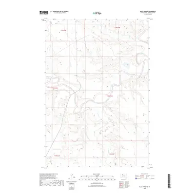
2017 Map of Black Horse NE
USGS Topo · Published 2017About this map
The Grand River meanders sharply through this portion of Corson County, shaping a landscape defined by its deep hydrological network. Numerous tributaries, including Soldier Cr and Hump Cr, carve through the terrain as they flow toward the main river channel. This 2017 survey by the U.S. Geological Survey illustrates the sparse, rural nature of the Rock Creek District, where land use is primarily determined by the winding path of the river and its floodplains. Near the southern boundary of the quadrangle, the Holy Spirit Cem serves as a primary point of historical and genealogical interest, situated on the higher ground overlooking the Firesteel Cr drainage area. The map's detailed topography reflects the erosion patterns common to the northern plains, showing how White Shirt Cr and other small streams have etched their way into the surrounding plateaus.
Find a feature on this map
12 named features on this map. Tap any name to fly to it.
Don’t see what you’re looking for? This feature index may not catch every label — zoom into the map to look around manually.
Map Details
Editions of this 2017 Black Horse NE Map
This is the sole edition of this map. No revisions or reprints were ever made.
Other maps of this area

1953 · McIntosh
USGS Topo · 1:250,000

1956 · Miscol SW
USGS Topo · 1:24,000

1956 · Black Horse NE
USGS Topo · 1:24,000

1956 · Black Horse SW
USGS Topo · 1:24,000

1956 · Black Horse SE
USGS Topo · 1:24,000

1956 · Black Horse
USGS Topo · 1:24,000

1956 · Miscol
USGS Topo · 1:24,000

1956 · Bullhead SW
USGS Topo · 1:24,000

1958 · McIntosh
USGS Topo · 1:250,000

1972 · McIntosh SW
USGS Topo · 1:24,000