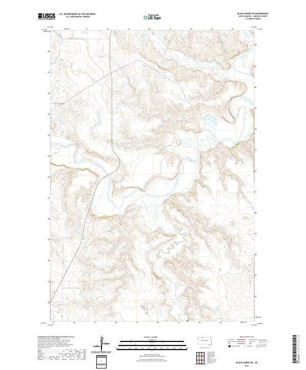
2021 Map of Black Horse NE
USGS Topo · Published 2021About this map
The Grand River carves a deeply sinuous path through this section of the Dakotas, defining a landscape marked by dramatic drainage patterns and isolated landmarks. The river's winding course is fed by several tributaries, including White Shirt Cr, Soldier Cr, and Hump Cr, which cut through the high prairie terrain. This 2021 survey illustrates the sparsely populated nature of the region, where wide-open spaces are punctuated only by essential community sites. For genealogists and local historians, the presence of the Holy Spirit Cem in the southern portion of the map, near the banks of Firesteel Cr, provides a specific point of reference for family research in this part of Corson County. The map clearly delineates the township and range boundaries that organize this rural territory, showing the relationship between natural watercourses and the established land survey system.
Find a feature on this map
12 named features on this map. Tap any name to fly to it.
Don’t see what you’re looking for? This feature index may not catch every label — zoom into the map to look around manually.
Map Details
Editions of this 2021 Black Horse NE Map
This is the sole edition of this map. No revisions or reprints were ever made.
Other maps of this area

1953 · McIntosh
USGS Topo · 1:250,000

1956 · Miscol SW
USGS Topo · 1:24,000

1956 · Black Horse NE
USGS Topo · 1:24,000

1956 · Black Horse SW
USGS Topo · 1:24,000

1956 · Black Horse SE
USGS Topo · 1:24,000

1956 · Black Horse
USGS Topo · 1:24,000

1956 · Miscol
USGS Topo · 1:24,000

1956 · Bullhead SW
USGS Topo · 1:24,000

1958 · McIntosh
USGS Topo · 1:250,000

1972 · McIntosh SW
USGS Topo · 1:24,000