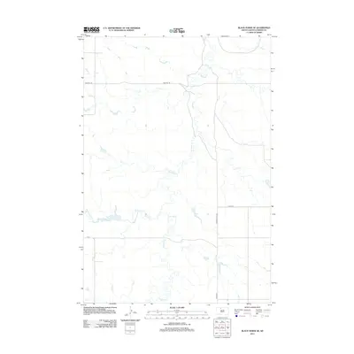
2012 Map of Black Horse SE
USGS Topo · Published 2012About this map
Firesteel Cr meanders through this section of the Rock Creek District in Corson County, shaping a drainage pattern that defines the rural landscape of North Central South Dakota. The waterway is joined by the branching tributaries of Standing Cloud Cr, providing a natural network through the open prairie. Transportation is limited to a sparse grid of section-line roads, notably Firesteel Rd and Co Rd-CS21, which facilitate travel between remote ranching properties and larger regional routes. This 2012 survey by the U.S. Geological Survey reflects the enduring agricultural character of the Standing Rock Reservation area, where the terrain remains largely undeveloped, focused on the drainage basins of these key seasonal creeks.
Find a feature on this map
5 named features on this map. Tap any name to fly to it.
Don’t see what you’re looking for? This feature index may not catch every label — zoom into the map to look around manually.
Map Details
Editions of this 2012 Black Horse SE Map
This is the sole edition of this map. No revisions or reprints were ever made.
Other maps of this area

1953 · McIntosh
USGS Topo · 1:250,000

1956 · Miscol SW
USGS Topo · 1:24,000

1956 · Black Horse NE
USGS Topo · 1:24,000

1956 · Black Horse SW
USGS Topo · 1:24,000

1956 · Black Horse SE
USGS Topo · 1:24,000

1956 · Black Horse
USGS Topo · 1:24,000

1956 · Miscol
USGS Topo · 1:24,000

1958 · McIntosh
USGS Topo · 1:250,000

1978 · Brewer Butte
USGS Topo · 1:24,000

1978 · Isabel
USGS Topo · 1:24,000