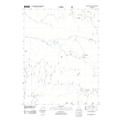
2011 Map of Black Mountain
USGS Topo · Published 2011About this map
Black Mountain rises above a landscape defined by deep canyons and high-elevation plateaus in this part of Sanpete County. The terrain is marked by essential water sources for the region, including Metcalf Spring, Leo Spring, and the prominent Town Reservoir which is held by the Town Reservoir Dam. The drainage pattern is led by Sixmile Creek and Twelvemile Creek, carving through locations such as North Fork Sixmile Canyon and South Fork Sixmile Canyon.
Find a feature on this map
32 named features on this map. Tap any name to fly to it.
Don’t see what you’re looking for? This feature index may not catch every label — zoom into the map to look around manually.
Map Details
Editions of this 2011 Black Mountain Map
This is the sole edition of this map. No revisions or reprints were ever made.
Other maps of this area

1885 · Manti
USGS Topo · 1:250,000

1895 · Manti
USGS Topo · 1:250,000

1922 · Wasatch
USGS Topo · 1:31,680

1956 · Price
USGS Topo · 1:250,000

1960 · Price
USGS Topo · 1:250,000

1962 · Price
USGS Topo · 1:250,000
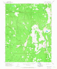
1965 · Woods Lake
USGS Topo · 1:24,000
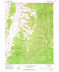
1965 · Mayfield
USGS Topo · 1:24,000

1965 · Manti
USGS Topo · 1:24,000

1965 · Black Mountain
USGS Topo · 1:24,000