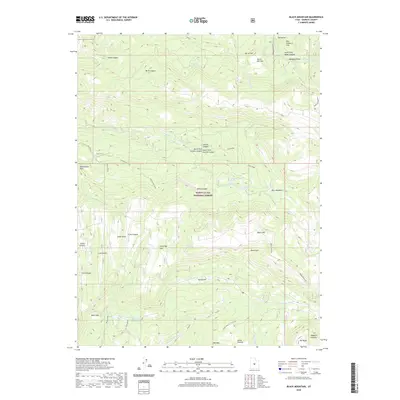
2020 Map of Black Mountain
USGS Topo · Published 2020About this map
The Wasatch Plateau dominates this portion of the Manti-La Sal National Forest, where high-elevation drainage systems and managed water resources define the land use. The map reveals a complex hydrologic network, including the Sixmile Ponds, Patton Reservoir, and Newfield Reservoir, which support the surrounding pastoral and forest lands. Settlement is sparse, represented by the Upper Ranch and Lower Ranch, indicating the area's primary role as a seasonal grazing or resource management zone.
Find a feature on this map
52 named features on this map. Tap any name to fly to it.
Don’t see what you’re looking for? This feature index may not catch every label — zoom into the map to look around manually.
Map Details
Editions of this 2020 Black Mountain Map
This is the sole edition of this map. No revisions or reprints were ever made.
Other maps of this area

1885 · Manti
USGS Topo · 1:250,000

1895 · Manti
USGS Topo · 1:250,000

1922 · Wasatch
USGS Topo · 1:31,680

1956 · Price
USGS Topo · 1:250,000

1960 · Price
USGS Topo · 1:250,000

1962 · Price
USGS Topo · 1:250,000
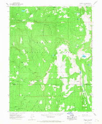
1965 · Woods Lake
USGS Topo · 1:24,000
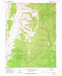
1965 · Mayfield
USGS Topo · 1:24,000

1965 · Manti
USGS Topo · 1:24,000

1965 · Black Mountain
USGS Topo · 1:24,000