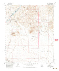
1959 Map of Black Peak
USGS Topo · Published 1985About this map
The Colorado River serves as the primary artery through this desert landscape, carving a path that separates San Bernardino Co and Yuma Co while defining the border between California and Arizona. The terrain is characterized by the stark contrast between the elevated Buckskin Mountains and the sprawling Cactus Plain to the south. This era shows an intense history of resource extraction, with numerous claims such as the Mineral Hill Mines, Mammon Mine, and Eagles Nest Mine dotting the ridges. Settlement is sparse, concentrated near the water at Cross Roads and Cienega Springs. The lower margin of the map is dominated by the Atchison Topeka and Santa Fe railroad, indicating the importance of heavy transport in connecting these remote mining districts to the broader industrial network of the Southwest.
Find a feature on this map
47 named features on this map. Tap any name to fly to it.
Don’t see what you’re looking for? This feature index may not catch every label — zoom into the map to look around manually.
Map Details
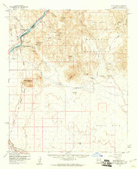
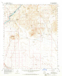
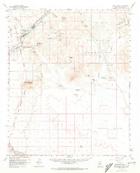
Editions of this 1959 Black Peak Map
4 editions found
Other maps of this area

1911 · Parker
USGS Topo · 1:125,000

1923 · Signal
USGS Topo · 1:250,000

1930 · Linskey
USGS Topo · 1:62,500

1931 · Moon Mtn
USGS Topo · 1:62,500

1932 · Moon Mtn
USGS Topo · 1:62,500

1942 · Signal
USGS Topo · 1:250,000

1942 · Blythe
USGS Topo · 1:250,000

1942 · Vicksburg
USGS Topo · 1:250,000

1942 · MOON MTN
USGS Topo · 1:62,500

1943 · Giers Basin
USGS Topo · 1:62,500