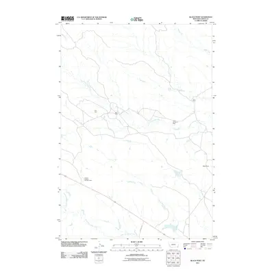
2011 Map of Black Point
USGS Topo · Published 2011About this map
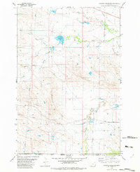
Peters Ranch and Nuhn Ranch anchor this high-plains landscape in Carter County, Montana, where water management is the primary driver of development. The terrain is defined by a dendritic network of drainages, including South Cottonwood Creek and North Fork Willow Creek, which feed a series of specialized reservoirs. Features like the Fruit Dam, Nuhn Number 2 Dam, and Cockran Grazing Number 5 Dam illustrate the essential infrastructure required for livestock grazing and ranching in this arid region. Near the eastern edge, the landmark known as Black Point rises above the surrounding flats, while Cochran S Rd provides one of the few established transit routes through the open country. This survey offers a detailed record of land use and water rights at the start of the 21st century.
Find a feature on this map
14 named features on this map. Tap any name to fly to it.
Don’t see what you’re looking for? This feature index may not catch every label — zoom into the map to look around manually.
Map Details
Editions of this 2011 Black Point Map
This is the sole edition of this map. No revisions or reprints were ever made.
Other maps of this area

1954 · Ekalaka
USGS Topo · 1:250,000

1956 · Ekalaka
USGS Topo · 1:250,000

1958 · Ekalaka
USGS Topo · 1:250,000

1965 · Ekalaka
USGS Topo · 1:250,000
1970 · Greasy Hill
USGS Topo · 1:24,000
1970 · Hammond SE
USGS Topo · 1:24,000

1981 · Alzada
USGS Topo · 1:100,000
1982 · Black Point NE
USGS Topo · 1:24,000
1982 · Cochran Reservoir
USGS Topo · 1:24,000

1982 · Phillippi Reservoir
USGS Topo · 1:24,000