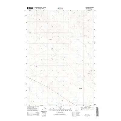
2014 Map of Black Point
USGS Topo · Published 2014About this map
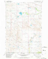
Black Point rises as a prominent landmark in this corner of Carter County, overlooking a network of ephemeral drainages that define the high plains landscape. The topography is shaped by the winding courses of Middle Cr, Trough Cr, and S Cottonwood Cr, which carve through the terrain as part of a larger watershed system. Human presence is marked by the diagonal transit of Us-212, a primary transportation artery that crosses the southern half of the map, intersecting with local routes like Cochran Dr and Black Point Ln. This 2014 survey documents a land primarily used for ranching and open-space management, where named features such as Zimmerman Draw and Hadigan Cr provide essential orientation in an otherwise expansive geography of coulees and ridges.
Find a feature on this map
14 named features on this map. Tap any name to fly to it.
Don’t see what you’re looking for? This feature index may not catch every label — zoom into the map to look around manually.
Map Details
Editions of this 2014 Black Point Map
This is the sole edition of this map. No revisions or reprints were ever made.
Other maps of this area

1954 · Ekalaka
USGS Topo · 1:250,000

1956 · Ekalaka
USGS Topo · 1:250,000

1958 · Ekalaka
USGS Topo · 1:250,000

1965 · Ekalaka
USGS Topo · 1:250,000
1970 · Greasy Hill
USGS Topo · 1:24,000
1970 · Hammond SE
USGS Topo · 1:24,000

1981 · Alzada
USGS Topo · 1:100,000
1982 · Black Point NE
USGS Topo · 1:24,000
1982 · Cochran Reservoir
USGS Topo · 1:24,000

1982 · Phillippi Reservoir
USGS Topo · 1:24,000