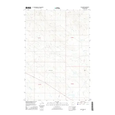
2017 Map of Black Point
USGS Topo · Published 2017About this map
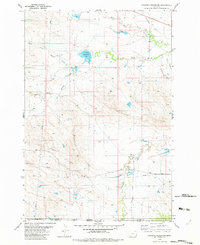
Black Point rises as a prominent landmark in this eastern Montana landscape, overlooking a network of seasonal drainages and cattle country. The terrain is defined by the branching systems of S Cottonwood Cr and Middle Cr, which carve through the high plains. The lack of concentrated settlements highlights the ranching character of Carter County, where movement is dictated by topographic features like Zimmerman Draw and Hadigan Cr. Human activity is marked primarily by the public land survey system grid and local routes such as Cochran Dr in the southern portion of the quadrangle. This 2017 survey details a landscape where water and elevation remain the primary organizing forces, from the headwaters of N Fork Willow Cr to the various branches of Trough Cr that intersect the township boundaries.
Find a feature on this map
13 named features on this map. Tap any name to fly to it.
Don’t see what you’re looking for? This feature index may not catch every label — zoom into the map to look around manually.
Map Details
Editions of this 2017 Black Point Map
This is the sole edition of this map. No revisions or reprints were ever made.
Other maps of this area

1954 · Ekalaka
USGS Topo · 1:250,000

1956 · Ekalaka
USGS Topo · 1:250,000

1958 · Ekalaka
USGS Topo · 1:250,000

1965 · Ekalaka
USGS Topo · 1:250,000
1970 · Greasy Hill
USGS Topo · 1:24,000
1970 · Hammond SE
USGS Topo · 1:24,000

1981 · Alzada
USGS Topo · 1:100,000
1982 · Black Point NE
USGS Topo · 1:24,000
1982 · Cochran Reservoir
USGS Topo · 1:24,000

1982 · Phillippi Reservoir
USGS Topo · 1:24,000