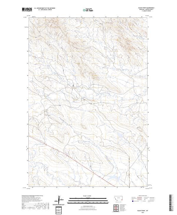
2024 Map of Black Point
USGS Topo · Published 2024About this map
South Cottonwood Creek and North Fork Willow Creek define the drainage patterns of this high plains region in Carter County, Montana. The landscape is characterized by intermittent watercourses and significant elevation features like the Flattops and the prominent Black Point landmark. While the area is largely defined by its natural topography, the presence of Cochran Dr provides a singular modern reference point for land access in a territory traditionally used for grazing. The detailed relief work traces numerous coulees and draws, including the lengthy Zimmerman Draw, revealing the complex erosion patterns across the townships of t7s r57e and t8s r58e. This 2024 data reflects the persistent remote character of the Montana backcountry, where named water bodies like Middle Creek and Hadigan Creek remain the primary orienting features for local navigation.
Find a feature on this map
13 named features on this map. Tap any name to fly to it.
Don’t see what you’re looking for? This feature index may not catch every label — zoom into the map to look around manually.
Map Details
Editions of this 2024 Black Point Map
This is the sole edition of this map. No revisions or reprints were ever made.
Other maps of this area

1954 · Ekalaka
USGS Topo · 1:250,000

1956 · Ekalaka
USGS Topo · 1:250,000

1958 · Ekalaka
USGS Topo · 1:250,000

1965 · Ekalaka
USGS Topo · 1:250,000
1970 · Greasy Hill
USGS Topo · 1:24,000
1970 · Hammond SE
USGS Topo · 1:24,000

1981 · Alzada
USGS Topo · 1:100,000
1982 · Black Point NE
USGS Topo · 1:24,000
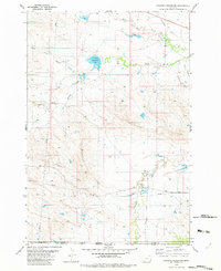
1982 · Cochran Reservoir
USGS Topo · 1:24,000

1982 · Phillippi Reservoir
USGS Topo · 1:24,000