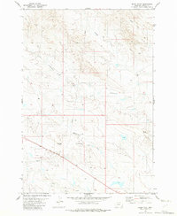
1982 Map of Black Point
USGS Topo · Published 1982About this map
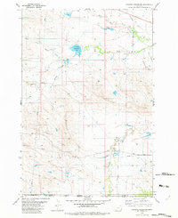
South Cottonwood Creek and its seasonal tributaries define this section of Carter County, Montana, as it appeared in the early 1980s. The landscape is characterized by its drainage network, including Trough Creek and the meandering Zimmerman Draw, which flow through the undulating terrain south of Middle Creek. This era of land use is marked by a clear infrastructure of utility and ranching, evidenced by the presence of a Pumping Sta, a prominent Radio Tower, and several pipelines that cross the ranchlands. Local settlement is concentrated at family operations such as Peters Ranch and Nuhn Ranch, while the namesake Black Point provides a distinct geographical landmark near the eastern boundary of the quadrangle. The map also traces the North Fork Willow Creek near the southern edge, illustrating the water-dependent nature of life in this part of the state.
Find a feature on this map
15 named features on this map. Tap any name to fly to it.
Don’t see what you’re looking for? This feature index may not catch every label — zoom into the map to look around manually.
Map Details
Editions of this 1982 Black Point Map
This is the sole edition of this map. No revisions or reprints were ever made.
Other maps of this area

1954 · Ekalaka
USGS Topo · 1:250,000

1956 · Ekalaka
USGS Topo · 1:250,000

1958 · Ekalaka
USGS Topo · 1:250,000

1965 · Ekalaka
USGS Topo · 1:250,000
1970 · Greasy Hill
USGS Topo · 1:24,000
1970 · Hammond SE
USGS Topo · 1:24,000

1981 · Alzada
USGS Topo · 1:100,000
1982 · Black Point NE
USGS Topo · 1:24,000
1982 · Cochran Reservoir
USGS Topo · 1:24,000

1982 · Phillippi Reservoir
USGS Topo · 1:24,000