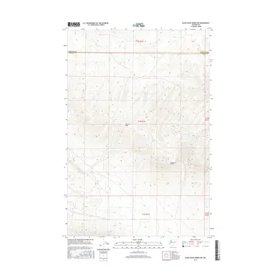
2017 Map of Black Rock Spring NW
USGS Topo · Published 2017About this map
Umtanum Ridge dominates this portion of the interior Northwest, showing a landscape defined by significant elevation changes and the drainages of the Yakima River watershed. The boundary between Kittitas Co and Yakima Co cuts across the northern third of the map, providing a fixed reference for land ownership and administrative history in the region. The terrain is marked by the presence of Hog Ranch Buttes, a prominent landform that overlooks the surrounding seasonal watercourses like Selah Cr and Umuma Cr. These features illustrate the arid, high-desert character of central Washington, where the physical geography has historically dictated the routes of travel and the limits of settlement.
Find a feature on this map
10 named features on this map. Tap any name to fly to it.
Don’t see what you’re looking for? This feature index may not catch every label — zoom into the map to look around manually.
Map Details
Editions of this 2017 Black Rock Spring NW Map
This is the sole edition of this map. No revisions or reprints were ever made.
Other maps of this area

1936 · Yakima East
USGS Topo · 1:48,000

1936 · Hog Ranch Buttes
USGS Topo · 1:48,000

1938 · Badger Pocket
USGS Topo · 1:48,000

1939 · Boylston
USGS Topo · 1:48,000

1941 · Black Rock Spring
USGS Topo · 1:62,500

1941 · Yakima East
USGS Topo · 1:62,500

1943 · Boylston
USGS Topo · 1:62,500

1943 · Badger Pocket
USGS Topo · 1:62,500

1950 · Yakima
USGS Topo · 1:250,000

1953 · McDonald Spring
USGS Topo · 1:24,000