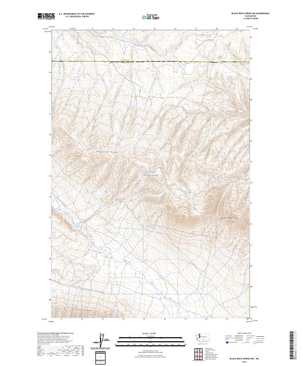
2023 Map of Black Rock Spring NW
USGS Topo · Published 2023About this map
Joint Base Lewis-Mcchord dominates this high-desert landscape in central Washington, encompassing a vast area of the Umtanum Ridge and the northern slopes of Yakima Ridge. This modern topographic study reveals a terrain shaped by dramatic geological folding, with Selah Creek cutting a winding course through the central sections. The map traces the county boundary between Kittitas County and Yakima County, highlighting a region largely dedicated to military training and resource management. Small seasonal watercourses like Lmuima Creek and the high elevations of the Hog Ranch Buttes define the local topography. The absence of traditional civilian settlements or road networks within the base boundary underscores the restricted, specialized nature of this land use in the early 21st century.
Find a feature on this map
12 named features on this map. Tap any name to fly to it.
Don’t see what you’re looking for? This feature index may not catch every label — zoom into the map to look around manually.
Map Details
Editions of this 2023 Black Rock Spring NW Map
This is the sole edition of this map. No revisions or reprints were ever made.
Other maps of this area

1936 · Yakima East
USGS Topo · 1:48,000

1936 · Hog Ranch Buttes
USGS Topo · 1:48,000

1938 · Badger Pocket
USGS Topo · 1:48,000

1939 · Boylston
USGS Topo · 1:48,000

1941 · Black Rock Spring
USGS Topo · 1:62,500

1941 · Yakima East
USGS Topo · 1:62,500

1943 · Boylston
USGS Topo · 1:62,500

1943 · Badger Pocket
USGS Topo · 1:62,500

1950 · Yakima
USGS Topo · 1:250,000

1953 · McDonald Spring
USGS Topo · 1:24,000