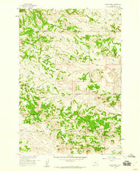
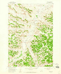
1958 Map of Black Spring
USGS Topo · Published 1960About this map
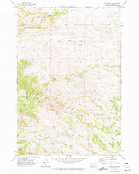
The Northern Cheyenne Indian Reservation Boundary bisects this mid-century landscape, marking a clear division across the drainage basins of the high plains. Surveyed as part of the Department of the Interior program for the development of the Missouri River Basin, the topography is defined by intricate drainage patterns feeding into Rosebud Creek. The reliance on localized water sources is evident through the naming of several critical points, including Black Spring, Lynch Spring, and Indian Coulee Spring.
Find a feature on this map
15 named features on this map. Tap any name to fly to it.
Don’t see what you’re looking for? This feature index may not catch every label — zoom into the map to look around manually.
Map Details
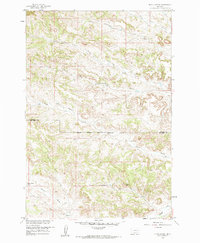
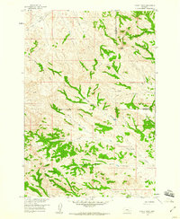
Editions of this 1958 Black Spring Map
2 editions found
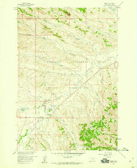
Other maps of this area

1954 · Hardin
USGS Topo · 1:250,000

1957 · Hardin
USGS Topo · 1:250,000

1958 · Hardin
USGS Topo · 1:250,000
1958 · Chalky Point
USGS Topo · 1:24,000
1958 · Painted Hill
USGS Topo · 1:24,000
1958 · Jimtown
USGS Topo · 1:24,000
1958 · Busby
USGS Topo · 1:24,000
1958 · Lame Deer
USGS Topo · 1:24,000
1971 · Colstrip SW
USGS Topo · 1:24,000
1971 · Rough Draw
USGS Topo · 1:24,000