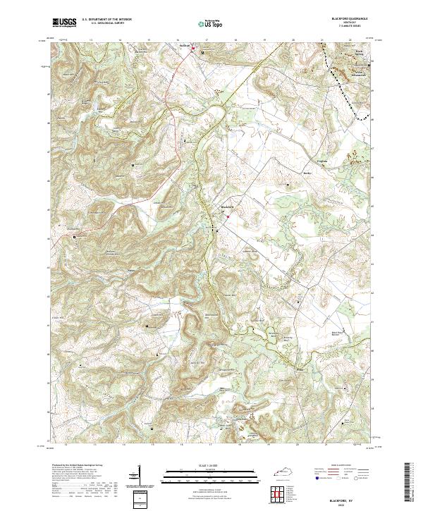
2022 Map of Blackford
USGS Topo · Published 2022About this map
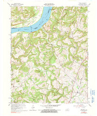
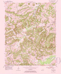
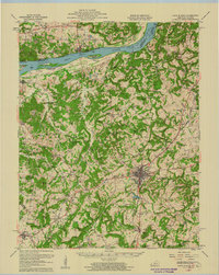
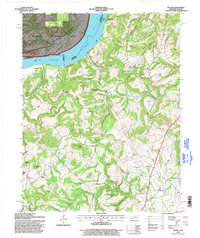
Tradewater River meanders across the borderlands of Crittenden, Union, and Webster counties, anchoring a rural landscape of ridges and bottomlands. The settlement of Blackford serves as a central hub, surrounded by a high density of family and community burial grounds including Brightman Cem and Curry Cem. The topography is defined by named rises such as Wild Hog Ridge, Gobblers Knob, and Carding Machine Hill, suggesting a history of subsistence farming and early local industry.
Find a feature on this map
114 named features on this map. Tap any name to fly to it.
Don’t see what you’re looking for? This feature index may not catch every label — zoom into the map to look around manually.
Map Details
Editions of this 2022 Blackford Map
This is the sole edition of this map. No revisions or reprints were ever made.
Historical Maps of Piney Through Time
12 maps found

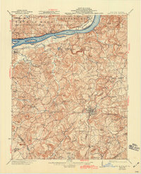
1921 Fords Ferry
Crittenden County, KY
1925 Cave In Rock
Crittenden County, KY
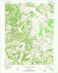
1954 Blackford
Crittenden County, KY
1954 Dycusburg
Crittenden County, KY
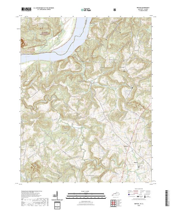
1954 Repton
Crittenden County, KY
1954 Shady Grove
Crittenden County, KY
1958 Cave In Rock
Crittenden County, KY
1996 Repton
Crittenden County, KY
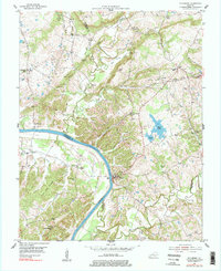
2022 Blackford
Crittenden County, KY
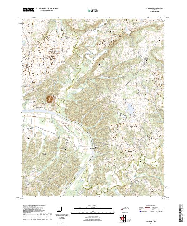
2022 Dycusburg
Crittenden County, KY
2022 Repton
Crittenden County, KY
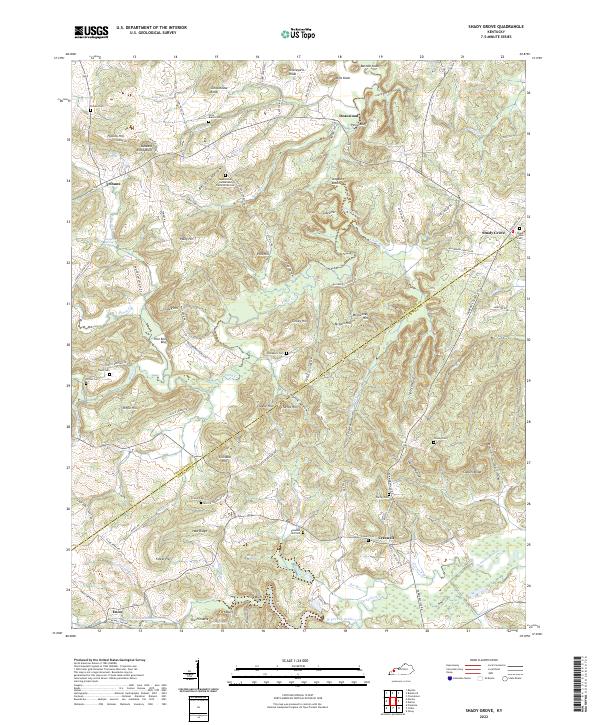
2022 Shady Grove
Crittenden County, KY