
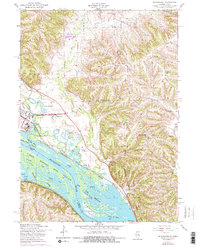
1953 Map of Blackhawk
USGS Topo · Published 1956About this map
The riverfront of Blackhawk and the surrounding river bluffs are meticulously detailed in this early 1950s study of the Illinois-Iowa border. The Upper Mississippi River Wildlife and Fish Refuge dominates the bottomland, a complex network of backwaters including Cheek Slough, Horseshoe Lake, and Buckwheat Slough. Along the eastern banks, the landscape rises sharply into the Mississippi Palisades State Park, where the Chicago Burlington and Quincy railroad tracks skirt the base of the limestone cliffs.
Find a feature on this map
48 named features on this map. Tap any name to fly to it.
Don’t see what you’re looking for? This feature index may not catch every label — zoom into the map to look around manually.
Map Details
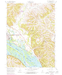
Editions of this 1953 Blackhawk Map
3 editions found
Other maps of this area

1892 · Savanna
USGS Topo · 1:62,500

1911 · Elizabeth
USGS Topo · 1:62,500

1911 · Galena
USGS Topo · 1:62,500

1913 · Galena
USGS Topo · 1:62,500

1935 · Miles
USGS Topo · 1:62,500

1936 · Elizabeth
USGS Topo · 1:62,500

1941 · Miles
USGS Topo · 1:62,500

1952 · Savanna
USGS Topo · 1:62,500

1953 · Green Island
USGS Topo · 1:24,000

1959 · Dubuque
USGS Topo · 1:250,000