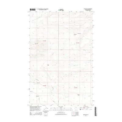
2014 Map of Blackleaf
USGS Topo · Published 2014About this map
Blackleaf serves as the primary landmark in this Montana landscape, where the prairie meets the drainage networks of the Rocky Mountain Front. The map reveals a land defined by its watercourses and erosion patterns, including the Middle Fork Dry Fork Marias River and the S Fork Dry Fork Marias River carving through the northern and central sections. This cattle-country terrain is etched with numerous named coulees, such as Ben English Coulee, Jensen Coulee, and Toms Coulee, which often carry the names of early homesteaders or ranching families. Local transit is facilitated by a grid of rural routes including W Pendroy Rd and Evan Campbell Rd, illustrating the persistence of the Public Land Survey System. The south is marked by Blackleaf Cr and Muddy Cr, highlighting the vital role of these seasonal and perennial flows in the high plains environment of Teton County.
Find a feature on this map
19 named features on this map. Tap any name to fly to it.
Don’t see what you’re looking for? This feature index may not catch every label — zoom into the map to look around manually.
Map Details
Editions of this 2014 Blackleaf Map
This is the sole edition of this map. No revisions or reprints were ever made.
Other maps of this area

1903 · Saypo
USGS Topo · 1:125,000

1914 · Heart Butte
USGS Topo · 1:125,000

1918 · Heart Butte
USGS Topo · 1:125,000

1920 · Choteau
USGS Topo · 1:125,000

1920 · Dupuyer
USGS Topo · 1:125,000

1936 · Pendroy
USGS Topo · 1:48,000

1941 · Pendroy
USGS Topo · 1:62,500

1955 · Choteau
USGS Topo · 1:250,000

1957 · Choteau
USGS Topo · 1:250,000

1958 · Choteau
USGS Topo · 1:250,000