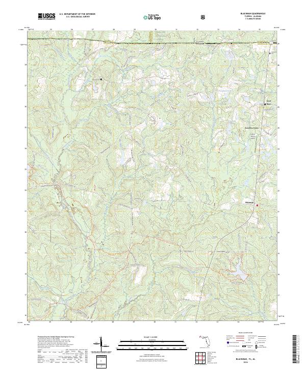
2024 Map of Blackman
USGS Topo · Published 2024About this map
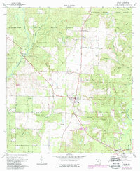
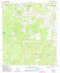
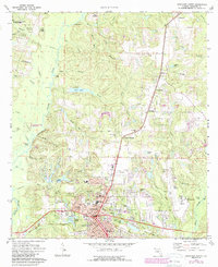
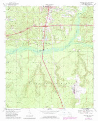
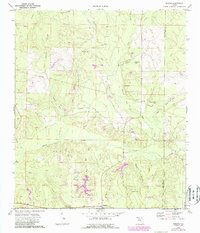
The Blackwater River and its numerous tributaries, including Hurricane Creek and Panther Creek, define this rural landscape along the Florida-Alabama border. In the north, the Conecuh National Forest spans the state line, while the southern half of the map reveals the small settlements of Blackman and Escambia Farms. Genealogists will find significant local history in several family-named burial sites, such as Red Oak Cem, Clements Cem, Good Hope Cem, and Cotton Cem. The local infrastructure is characterized by a dense network of named dirt and county roads like State Line Rd and Kennedy Bridge Rd, serving isolated farms and the Triple R Ranch Airport. This modern survey details how family-owned lands and named ponds like E C Youngblood Pond continue to shape the geography of northern Okaloosa County.
Find a feature on this map
77 named features on this map. Tap any name to fly to it.
Don’t see what you’re looking for? This feature index may not catch every label — zoom into the map to look around manually.
Map Details
Editions of this 2024 Blackman Map
This is the sole edition of this map. No revisions or reprints were ever made.
Historical Maps of Okaloosa County Through Time
22 maps found

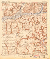
1934 Holt
Okaloosa County, FL
1937 Holt
Okaloosa County, FL
1956 Holt
Okaloosa County, FL
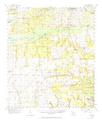
1970 Holt SW
Okaloosa County, FL
1973 Baker
Okaloosa County, FL
1973 Blackman
Okaloosa County, FL
1973 Crestview North
Okaloosa County, FL
1973 Crestview South
Okaloosa County, FL
1973 Dorcas
Okaloosa County, FL
1973 Holt
Okaloosa County, FL
1973 Oak Grove
Okaloosa County, FL
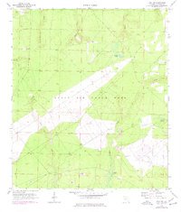
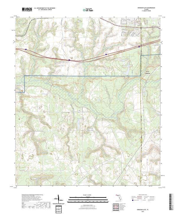
1973 Spencer Flats
Okaloosa County, FL
1994 Crestview South
Okaloosa County, FL
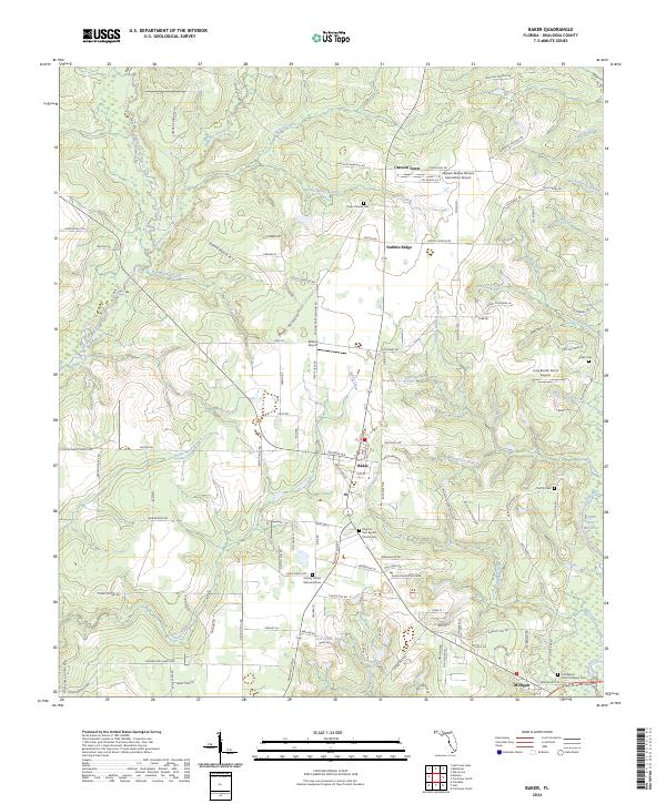
2024 Baker
Okaloosa County, FL
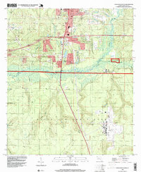
2024 Blackman
Okaloosa County, FL
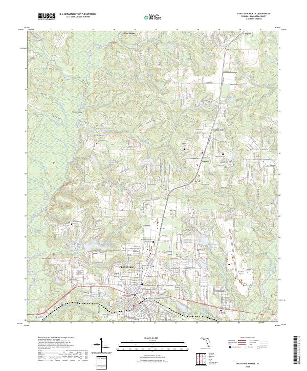
2024 Crestview North
Okaloosa County, FL
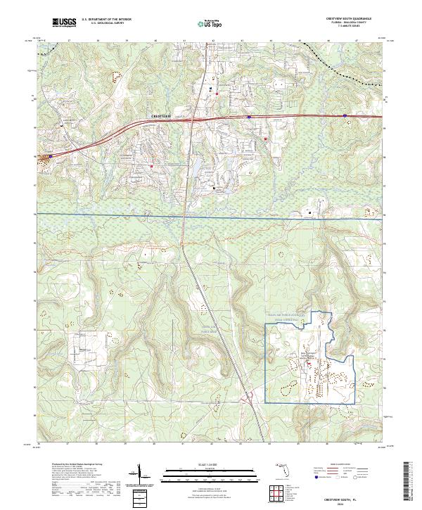
2024 Crestview South
Okaloosa County, FL
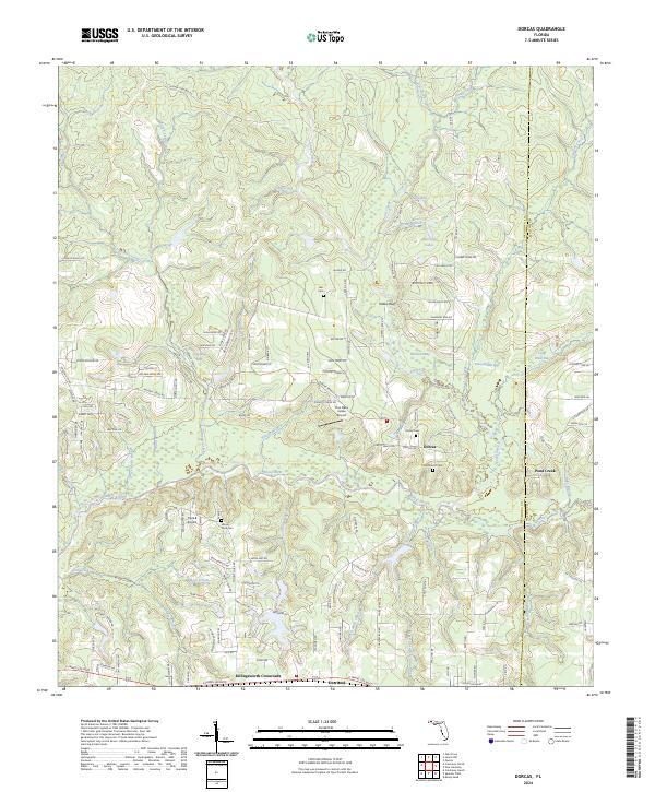
2024 Dorcas
Okaloosa County, FL
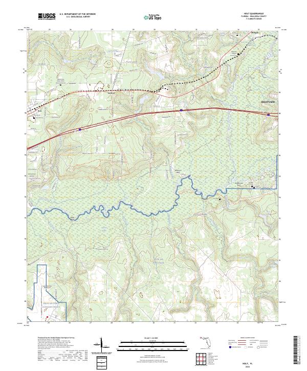
2024 Holt
Okaloosa County, FL
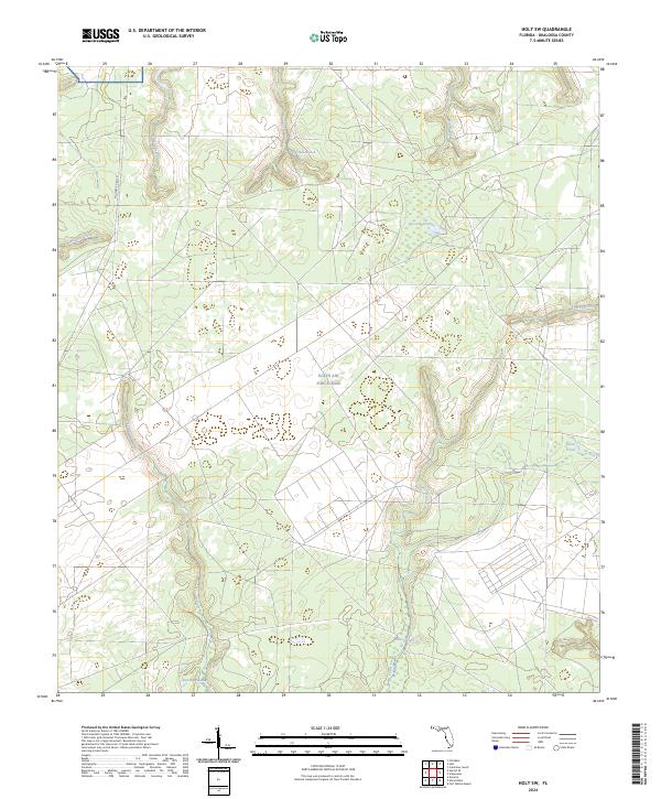
2024 Holt SW
Okaloosa County, FL
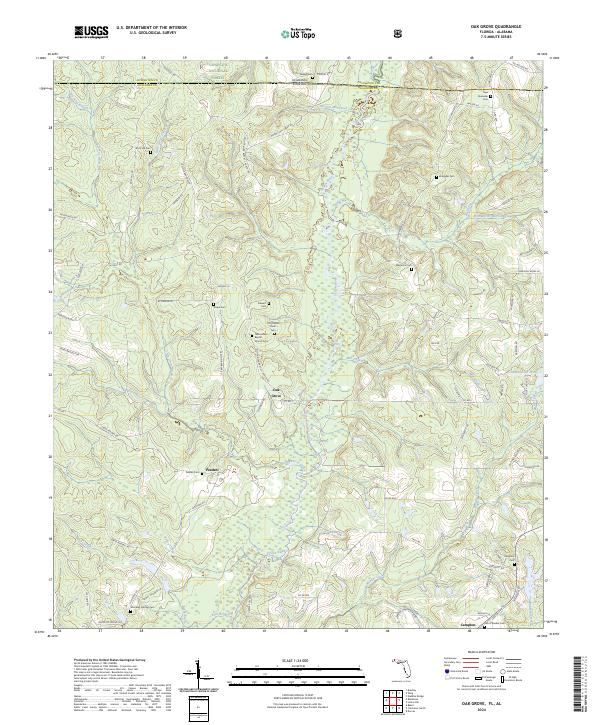
2024 Oak Grove
Okaloosa County, FL
2024 Spencer Flats
Okaloosa County, FL