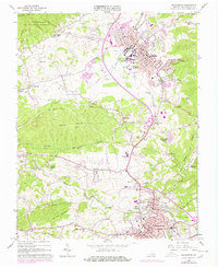
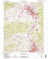
1965 Map of Blacksburg
USGS Topo · Published 1978About this map
The growing college town of Blacksburg and its industrial neighbor Christiansburg dominate this Montgomery County survey, which was updated with purple photogrammetric revisions in the late 1970s. The campus of Virginia Polytechnic Institute is shown in detail, featuring landmark structures like Lane Stadium, the Coliseum, and the VPI Airport. The landscape transitions from the academic and commercial centers to the surrounding ridges of Brush Mtn and Price Mountain.
Find a feature on this map
69 named features on this map. Tap any name to fly to it.
Don’t see what you’re looking for? This feature index may not catch every label — zoom into the map to look around manually.
Map Details
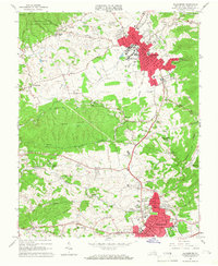
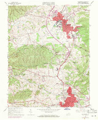
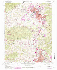
Editions of this 1965 Blacksburg Map
5 editions found
Other maps of this area

1890 · Dublin
USGS Topo · 1:125,000

1890 · Christiansburg
USGS Topo · 1:125,000

1891 · Dublin
USGS Topo · 1:125,000

1923 · Pearisburg
USGS Topo · 1:62,500

1923 · Waiteville
USGS Topo · 1:62,500

1931 · Waiteville
USGS Topo · 1:48,000

1932 · Pearisburg
USGS Topo · 1:48,000

1932 · Blacksburg
USGS Topo · 1:48,000

1937 · Pearisburg
USGS Topo · 1:62,500

1937 · Blacksburg
USGS Topo · 1:62,500