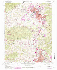
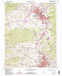
1965 Map of Blacksburg
USGS Topo · Published 1984About this map
Virginia Polytechnic Institute and State University dominates the landscape of Montgomery County in this mid-century survey, showing the campus before its late-20th-century expansion. The transition from the academic core of Blacksburg to the surrounding rural valley is marked by family landmarks and small outposts like Kanodes Mill and Prices Fork. To the south, the industrial and transport corridor between Merrimac and Christiansburg is defined by the Norfolk and Western railway lines and the early development of Vicker Heights.
Find a feature on this map
103 named features on this map. Tap any name to fly to it.
Don’t see what you’re looking for? This feature index may not catch every label — zoom into the map to look around manually.
Map Details
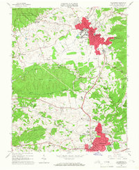
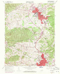
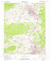
Editions of this 1965 Blacksburg Map
5 editions found
Other maps of this area

1890 · Dublin
USGS Topo · 1:125,000

1890 · Christiansburg
USGS Topo · 1:125,000

1891 · Dublin
USGS Topo · 1:125,000

1923 · Pearisburg
USGS Topo · 1:62,500

1923 · Waiteville
USGS Topo · 1:62,500

1931 · Waiteville
USGS Topo · 1:48,000

1932 · Pearisburg
USGS Topo · 1:48,000

1932 · Blacksburg
USGS Topo · 1:48,000

1937 · Pearisburg
USGS Topo · 1:62,500

1937 · Blacksburg
USGS Topo · 1:62,500