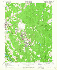
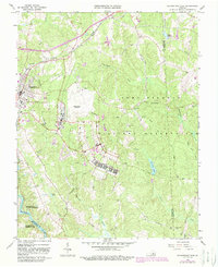
1966 Map of Blackstone East
USGS Topo · Published 1967About this map
Blackstone Army Air Base dominates the central portion of this mid-1960s survey, illustrating the significant military footprint in Nottoway County. Part of the larger Camp Pickett Military Reservation, the base is flanked by complex networks of observation towers and training infrastructure. To the west, the town of Blackstone serves as the local hub, with the Norfolk and Western Railway cutting through its northern streets near Spring Hill Ch.
Find a feature on this map
35 named features on this map. Tap any name to fly to it.
Don’t see what you’re looking for? This feature index may not catch every label — zoom into the map to look around manually.
Map Details
Editions of this 1966 Blackstone East Map
5 editions found
Other maps of this area

1891 · Farmville
USGS Topo · 1:125,000

1893 · Farmville
USGS Topo · 1:125,000

1897 · Amelia
USGS Topo · 1:125,000

1918 · Lawrenceville
USGS Topo · 1:62,500

1920 · Lawrenceville
USGS Topo · 1:48,000

1921 · Lawrenceville
USGS Topo · 1:62,500

1942 · Lawrenceville
USGS Topo · 1:62,500

1943 · Richmond
USGS Topo · 1:250,000

1947 · Roanoke
USGS Topo · 1:250,000

1949 · Richmond
USGS Topo · 1:250,000