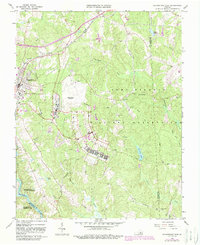
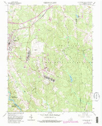
1966 Map of Blackstone East
USGS Topo · Published 1987About this map
Fort Pickett Military Reservation dominates the eastern half of this landscape, its sprawling installation infrastructure and networks of observation towers contrasting with the civilian life in neighboring Blackstone. The town serves as a regional hub for the Norfolk and Western Railway, which cuts across the northern terrain near Spring Hill Ch. This survey illustrates the Cold War era footprint of the area, featuring the massive Blackstone Airport and the complex layout of the military base alongside quiet rural features like Faith Ch and the Nottoway Reservoir. The convergence of Nottoway, Brunswick, and Dinwiddie counties occurs along the Nottoway River, where the landscape transitions into a network of streams including Tommeheton Creek and Butterwood Creek.
Find a feature on this map
32 named features on this map. Tap any name to fly to it.
Don’t see what you’re looking for? This feature index may not catch every label — zoom into the map to look around manually.
Map Details
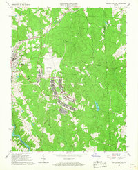
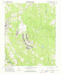
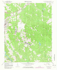
Editions of this 1966 Blackstone East Map
5 editions found
Other maps of this area

1891 · Farmville
USGS Topo · 1:125,000

1893 · Farmville
USGS Topo · 1:125,000

1897 · Amelia
USGS Topo · 1:125,000

1918 · Lawrenceville
USGS Topo · 1:62,500

1920 · Lawrenceville
USGS Topo · 1:48,000

1921 · Lawrenceville
USGS Topo · 1:62,500

1942 · Lawrenceville
USGS Topo · 1:62,500

1943 · Richmond
USGS Topo · 1:250,000

1947 · Roanoke
USGS Topo · 1:250,000

1949 · Richmond
USGS Topo · 1:250,000